


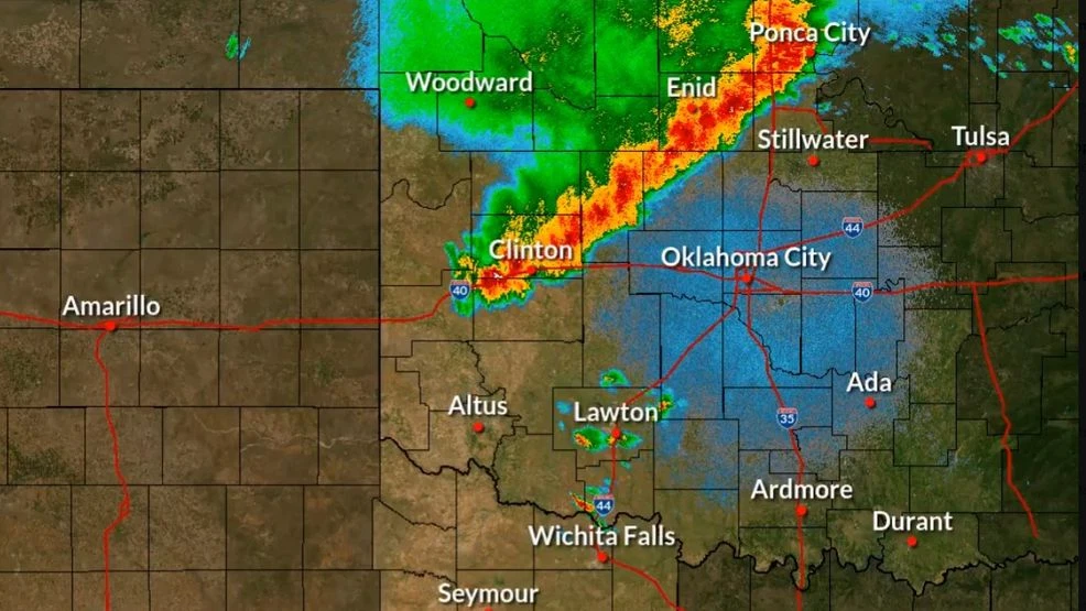
OKLAHOMA CITY (KOKH) — After a line of severe storms brought strong winds, rain, and possible tornadoes to Oklahoma, the National Weather Service worked to classify them.
On Monday morning, the National Weather Service said it has preliminarily classified the line of storms as a Derecho.
According to the National Oceanic and Atmospheric Administration, Derechos are a fast-moving band of thunderstorms with destructive winds.
Officials say Derechos can have winds as strong as some hurricanes and tornadoes but move in a straight line rather than a spinning motion.
To be classified as a Derecho, there are several key factors that have to be met:
- At least 5 significant severe wind gusts, reaching over 70 miles per hour
- At least 250-mile path in length of severe wind reports
- An unbroken or semi-broken line of storms that produce damage.
Derechos form when the wet air in a thunderstorm meets the drier air surrounding it and begins to evaporate. As it evaporates, it cools the air around it and the cooler air rapidly sinks, causing downbursts.
Downbursts can then suck more dry air into the storm, making stronger downbursts or clusters of downbursts. Derechos happen when downbursts occur over a wide area.
Derechos are most common in the Midwest but are still considered fairly rare.
During Monday morning’s storm, the highest wind gust was recorded in Hinton with the wind topping out at 102 miles per hour.
Several other spots recorded gusts in the 80s.